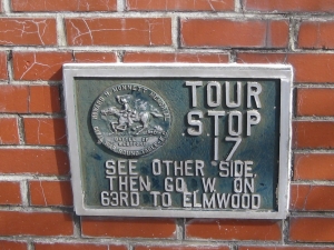
From previous marker cross railroad and continue 100 yards to the next marker (map marker).
Battle of the Big Blue Map Marker
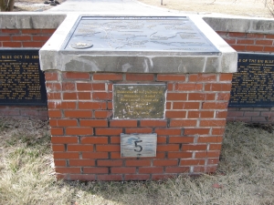
Battle of the Big Blue Map Marker Inscriptions
"Battle of the Big Blue October 22, 1864 - Union General Curtis set up a defensive line on the west side of the Big Blue River from the Missouri River upstream for 15 miles to stop Confederate General Price advancing from the east. A Battalion of Kansas Militia arrived here before daylight and Jennison's Brigade with 1000 cavalry and five howitzers was in position by 9 A.M. on the hill to the west with a skirmish line along the river. The militia felled trees to block the ford. Thompson's CSA Brigade of 2000 men reached the river at 11 A.M. and was stopped. At 3 P.M. Gordon's Regiment crossed the river one mile upstream. Slayback's Battalion crossed downstream flanking Jennison. His skirmishers were driven back and Thompson crossed driving Jennison to the west. The ford was cleared and Price's Army and wagon train crossed here.
"Battle of the Big Blue October 23, 1864 - Union General Pleasonton's Cavalry Division, in the rear of General Price's Army, defeated Price's Divisions under Fagan and Marmaduke on the 22nd at Independence. Marmaduke's Division of 2500 calvarymen and six guns was in position here by daylight. Clark's brigade was on the hill to the west and Freeman's Brigade and 2 of Clark's Regiments were along the river. (see map) Pleasonton with 3500 cavalrymen and 3 guns attacked after sunup. The ford had again been blocked. Crossing was first made north of the ford and then south of the ford driving Freeman to the top of the cliff. A mounted charge up the road failed. After heavy fighting dismounted men drove Freeman from the cliff. A final charge pushed Marmaduke to the west. Both sides lost many men. The Union had 200 killed and wounded."
From here you may want to walk down to the location where Byram's Ford crossed the Big Blue River. It's about a 500-yard walk from here. Coninute north on Manchester Trafficway and turn right (east) on 60th Street (you can also drive and park in the small parking lot at 5951 Manchester Trafficway). Continue walking east towards the tree line off in the distance. If there is a chain link fence in your way, walk about 100 feet to your right and there will be a break in the fence. Continue walking east across the battlefield and you should begin to see an opening in the trees. As you get closer, you will also see the low profile, concrete marker indicating the Byram's Ford Battlefield is listed in the National Register of Historic Places.
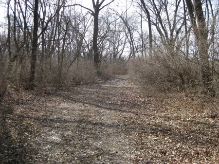
Once you reach this marker, continue walking along the path going into the woods to the east. This is the Historic Byram's Ford Road. Follow this road down to the Big Blue River until you see the sign marking Byram's Ford.
Although the banks of the river have been changed over time and due to flood control work, this is the location of Byram's Ford. The Byram's Ford Road actually crossed the river at an angle, heading almost due north/south where it it crossed.
Byram's Ford Historic District Marker
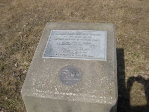
Byram's Ford Historic District
has been placed on the
National Register of Historic Places
by the United States
Department of the Interior
Site of the Battle of the Big Blue
October 22 and 23, 1864
Battle of Westport
and the
Independence to Westport Road
Byram's Ford Sign
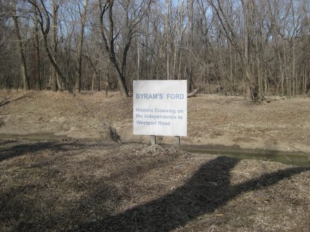
Byram's Ford Road
